


Track and time this hike using a mobile device!
TRACK AND TIME YOUR HIKE
Admiralty Point Trail
 Directions to the Admiralty Point Trail
 Download offline KML trail map of Admiralty Point Trail

Bedwell Bay, Belcarra
49.323300, -122.902367
7°c Clear Sky Humidity: 62% Sunset: 5:00 pm
Track and hike this trail on your mobile device!
Total Distance
(Return)
(Return)
Total Ascent

Elevation Profile
Trail Description
Casual hike passing by Cod Rock with a view of Burrard Inlet and Indian Arm to Admiralty Point on the southern most tip across from Barnet Marine Park.
Photos of the Admiralty Point Trail (2)

 Add your own photos
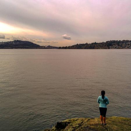
matthew.inouye
Apr 3rd 2018
Cod Rock
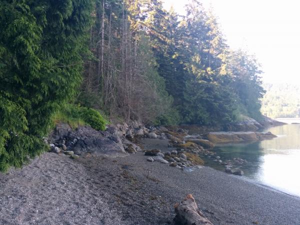
matthew.inouye
Jun 1st 2019
Maple Beach
Tags
Download Free KML Trail Map for the Admiralty Point Trail
 The Admiralty Point Trail is equipped with a free downloadable offline trail map that can used in Google Earth, Google Maps/KML enabled cell-phone or in a GPS device.
Download KML trail map
The Admiralty Point Trail is equipped with a free downloadable offline trail map that can used in Google Earth, Google Maps/KML enabled cell-phone or in a GPS device.
Download KML trail map
Trails near the Admiralty Point Trail
Sasamat Lake Loop Trail 1.2 km away
Jug Island Trail 1.9 km away
Cod Rock Trail 2.1 km away
Diez Vistas 3.1 km away
Quarry Rock Trail 3.5 km away
Top Trail Times
| # | Hiker | Date | Start Time | Duration |
| 1 | Matthew Inouye | Jun 1, 2019 | 07:28:23 | 00:56:55 |
| 2 | Felix Tavira | Oct 11, 2021 | 15:16:34 | 01:43:20 |
Comments
